How to identify historic properties using Google Earth 1
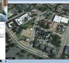
Don’t you just love it when you get a PDF of a project area floating in the middle of some unidentified terrain? Just a polygon overlain upon some barren desert, forest quadrat, or urban freeway with very little context? And, you’re, somehow, expected to plan your cultural resource management archaeology […]